
Build the field
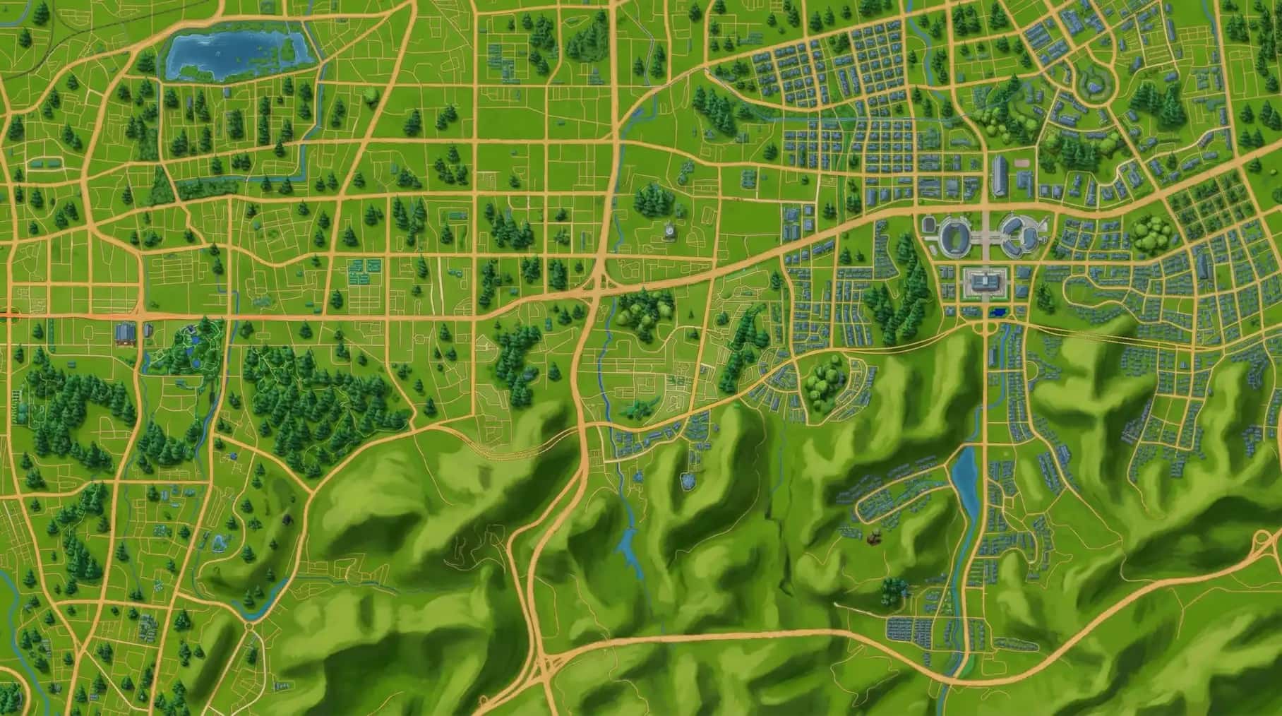
Map & course builder
- Import and organize map assets
- Plan courses, zones and checkpoint logic
- Prepare route variants for different audiences
Digital orienteering platform
Start with a campus, park, destination or city street. Add a route and a few good missions, then let people set off.


What is ColorMap Run
Participants follow the map, find checkpoints and complete missions on their phones. Organizers prepare the route, keep an eye on the activity and understand what happened afterwards.
New to the sport? Start with how orienteering actually works.

Map footprint
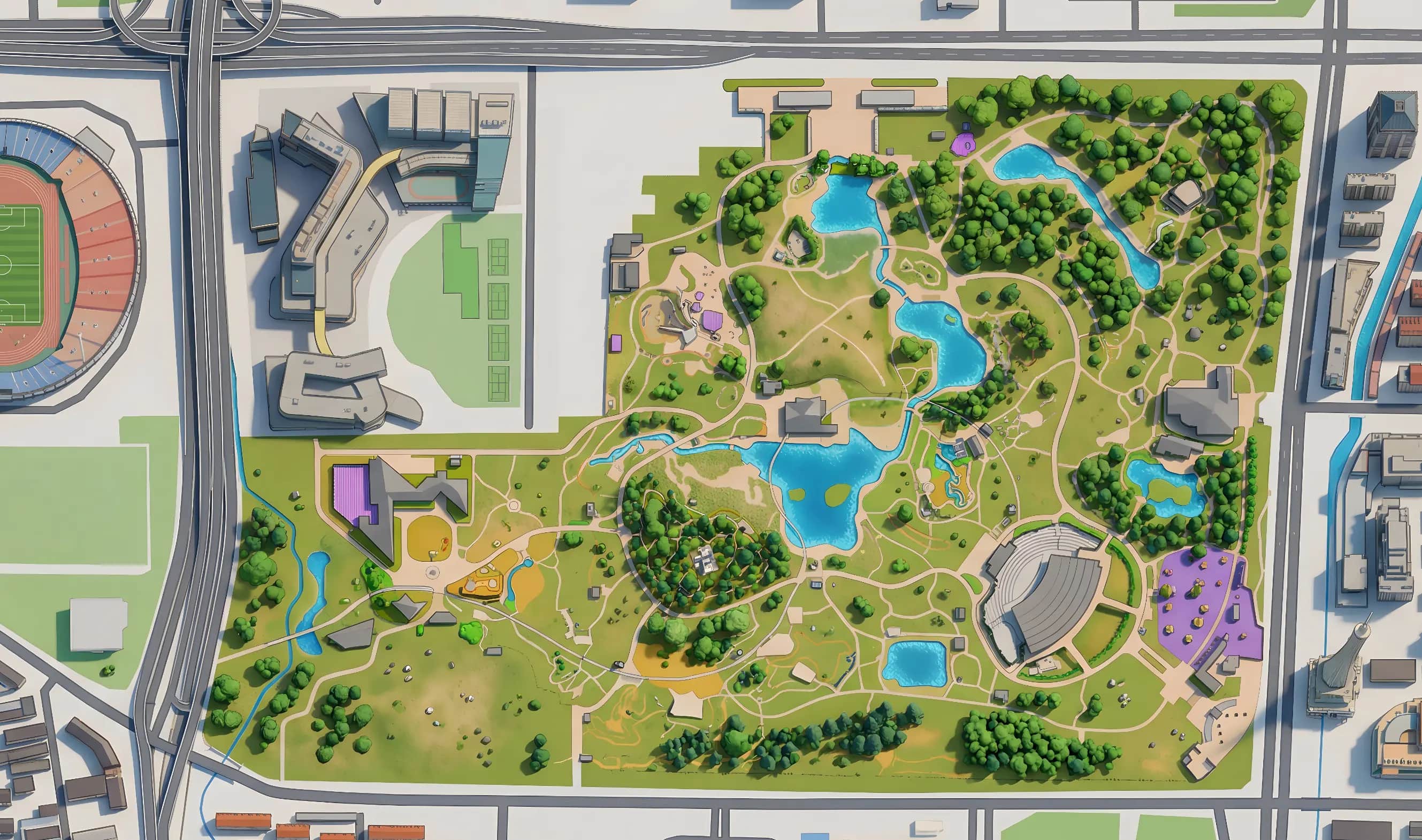
From campuses and parks to destinations and city streets, every map represents a real place and can support more than one event.
Explore all orienteering mapsMade for different places
Campus sports, orientation and culture learning
Turn a campus into a repeatable program combining physical activity, navigation and school-specific learning content.
Clearer organization, measurable participation and reusable event assets.
Scenic areas, parks and urban public spaces
Connect routes, attractions and interactive missions to create a visitor experience that can run beyond a single event.
Longer engagement, richer place-based content and measurable visitor activity.
Team building and employee sports
Use map-based challenges to create active collaboration with flexible team formats and visible results.
A structured, memorable program that works for one event or recurring operation.
Professional orienteering and public event delivery
Prepare maps, courses, tasks, participant access and operational data in one delivery workflow.
Faster setup, stronger field visibility and reusable delivery capability.
What runs behind the map
Build the field
Create the challenge
Deliver interaction
Run the experience
Start with the place
Streaming trails
Observation panel
Streaming Trails turns GPS activity into visible route heat and movement intensity so organizers, coaches and audiences can read choice, tempo and hotspots at a glance.
Programs already on the move
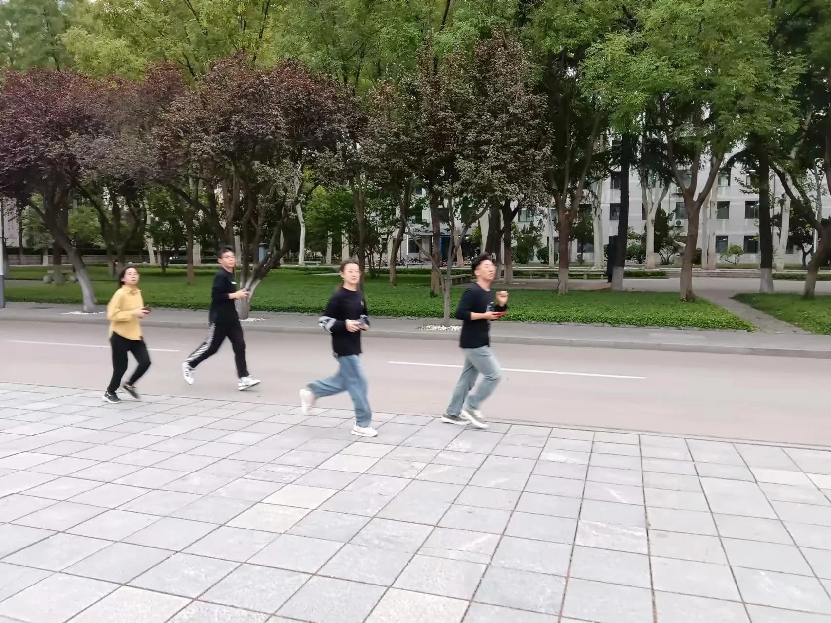
University program · 2024
The program involved 44 organizations, recorded 87,209 campus-culture quiz responses and had zero safety incidents.
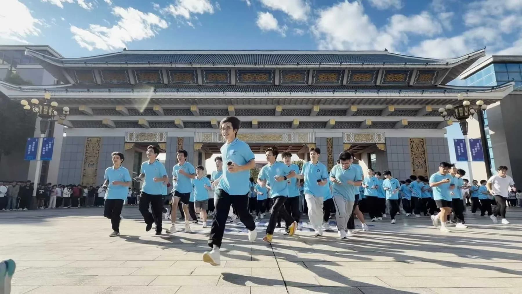
Recurring university program · 2025
The month-long program recorded 35,346 km and remained stable with 1,200 concurrent participants in a single event.
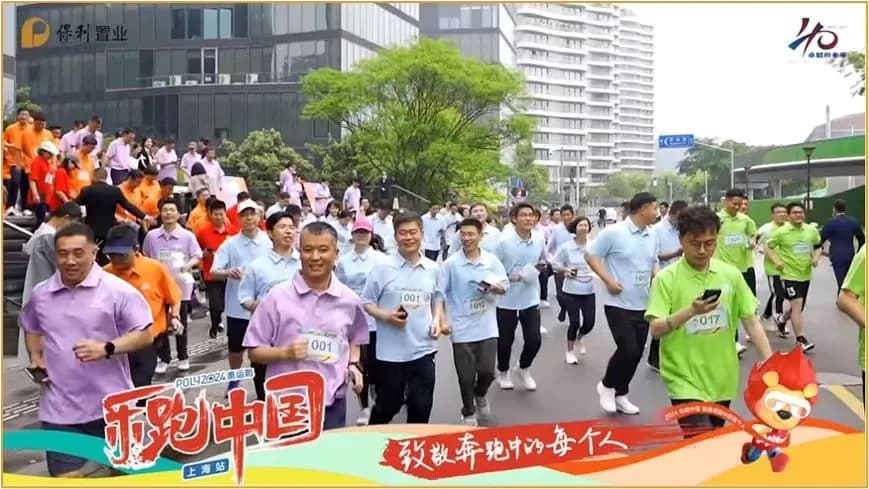
Corporate event · 2024
The course connected company-culture questions, team photo missions and on-site tasks, with time, distance and quiz results brought together at the finish.
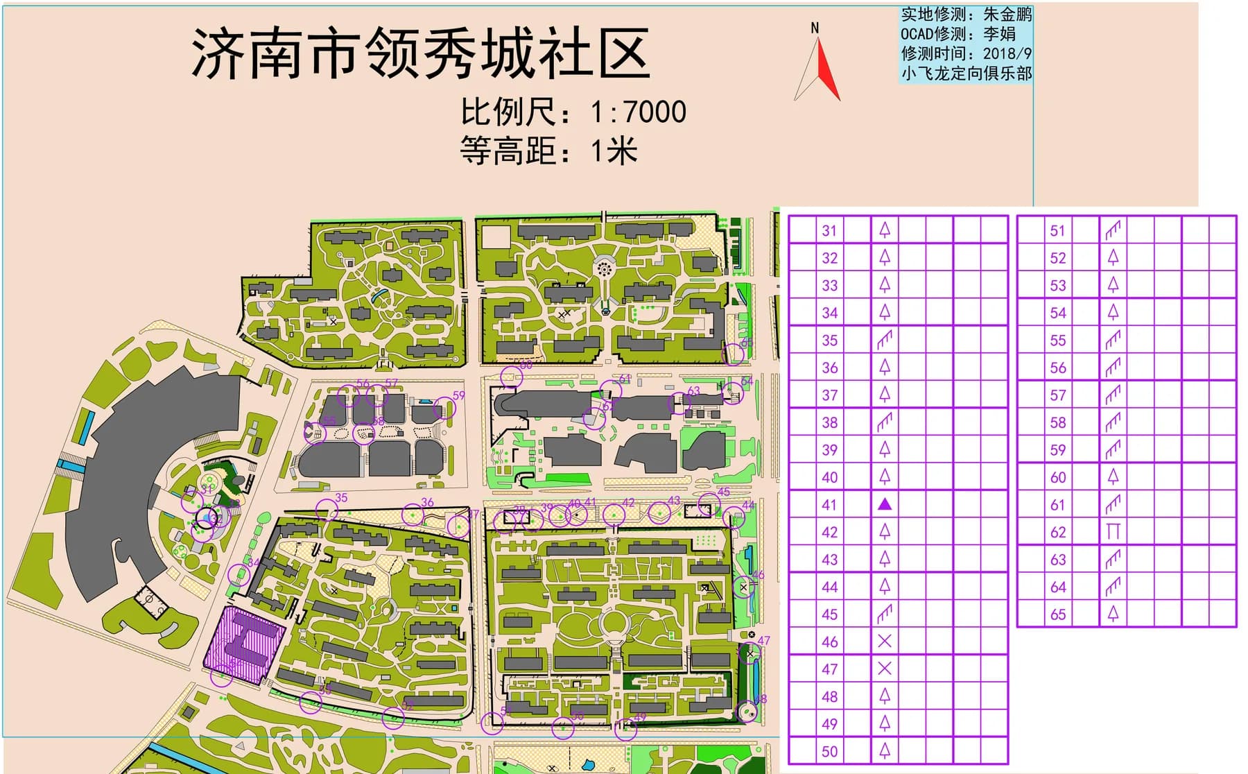
Community program · 2024
Residents could choose a nearby start, complete different routes repeatedly and collect points across the neighbourhood and shopping streets.
Turn a map into a place people can explore
Tell us where the venue is, who will take part and what you hope the day will feel like. We can shape the map, route and field plan together.