Product

From the map and route to the live activity and results

Participants see the map on their phones. Organizers prepare routes and missions, run the activity and make sense of the results in the same place.
Orienteering map and route design example
Pro orienteeringMap-first gameplay
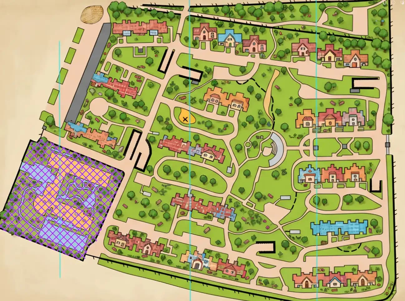
Campus orienteering map example
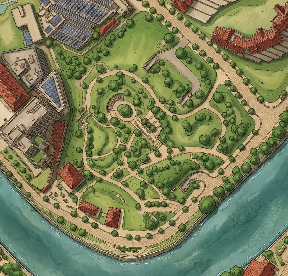
Park orienteering map example
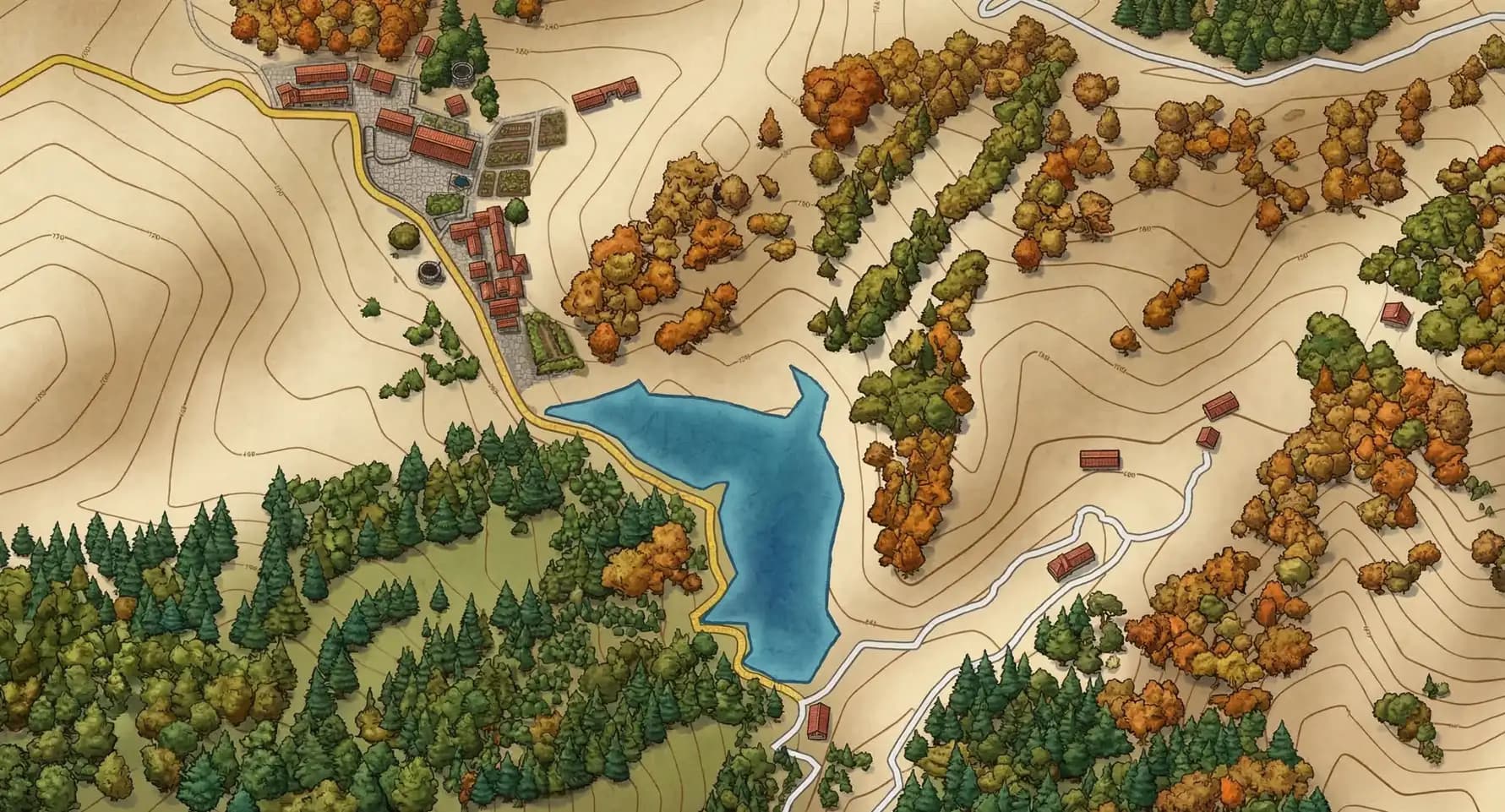
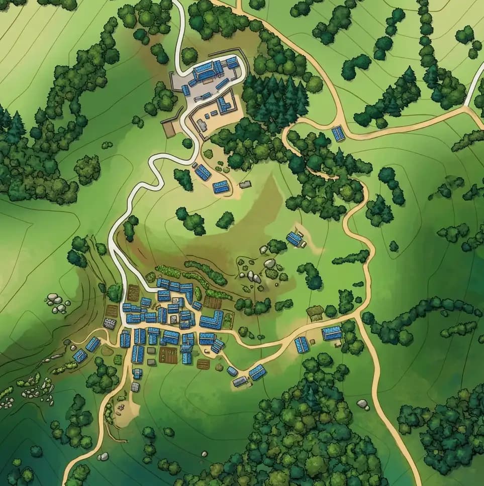
Destination orienteering map example
Build courses and checkpoints on campus, park, scenic or city maps
Manage missions, scoring, participants and event sessions together
Keep a clear record of participation, finishes, distance and interactions

Getting started

Three steps from map to start line

01

Prepare the map

Set out the venue, paths and activity boundaries.

02

Build the route

Place checkpoints and add questions, hints and scoring.

03

Set everyone off

Participants follow the map while organizers keep an eye on progress.

A tool for field staff

Keep the event in view on the move

The separate Field Control app shows the event map, participant locations and progress, with public-channel voice for on-site coordination. For Android 64-bit phones and tablets; an organiser-issued event access code is required.

Get Field Control →

The tools behind a well-run activity

Build the field

Map & course builder

  • Import and organize map assets
  • Plan courses, zones and checkpoint logic
  • Prepare route variants for different audiences

Create the challenge

Mission system

  • Blend real checkpoints with virtual triggers
  • Attach prompts, tasks and quiz content
  • Run timed, scored or discovery-based formats

Deliver interaction

Content engine

  • Publish media-rich tasks and instructions
  • Adapt challenge style by age group or event type
  • Keep educational and entertainment content in one flow

Run the experience

Event operations

  • Coordinate participants and session status
  • Track route progress and completion signals
  • Support organizers before, during and after live activity