
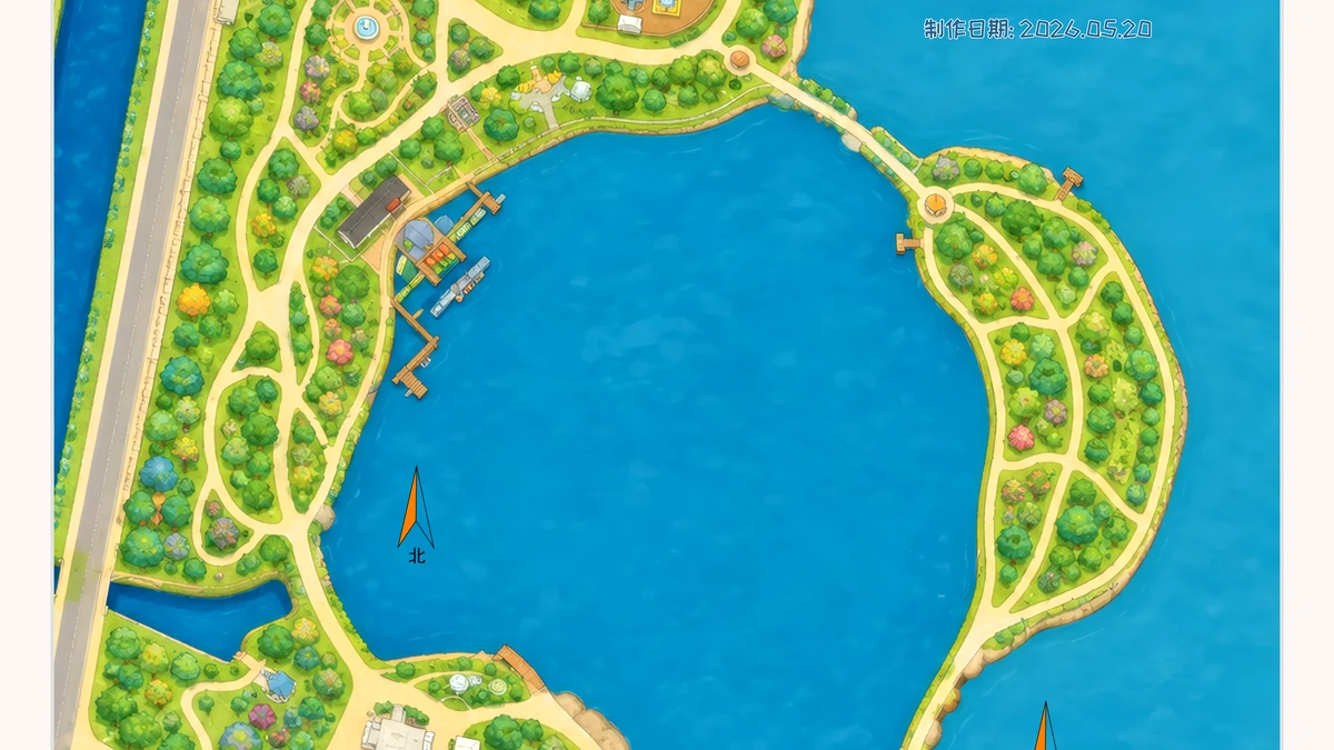
天津市 · 轻松
东丽湖
A public orienteering map in 天津市.
湖区公园亲子休闲
View map details Orienteering map directory
This is a directory of real venues, not sample artwork. Open any listed map to see its location, character and available experiences.
What is an orienteering map?
An orienteering map turns paths, buildings, vegetation, water and terrain into clues you can read on the ground. It shows not only where you are, but how you might move next.
Browse 196 public maps across 38 cities below. If this is your first map, start with how to read an orienteering map.
Choose your next step
Open the city directory to find mapped campuses, parks, destinations and urban spaces.
View the directory →02Start with direction, scale and symbols, then connect the page to the terrain around you.
Read the guide →03For a school, destination, park or campus, start with the site and how people will use it.
Discuss venue mapping →Browse by city
Open a city to see every public map currently listed there, the types of venues available and a few places to start. Counts reflect the live public directory.
天津市 · 轻松
A public orienteering map in 天津市.

北京市 · 适中
A public orienteering map in 北京市.

北京市 · 标准
A public orienteering map in 北京市.
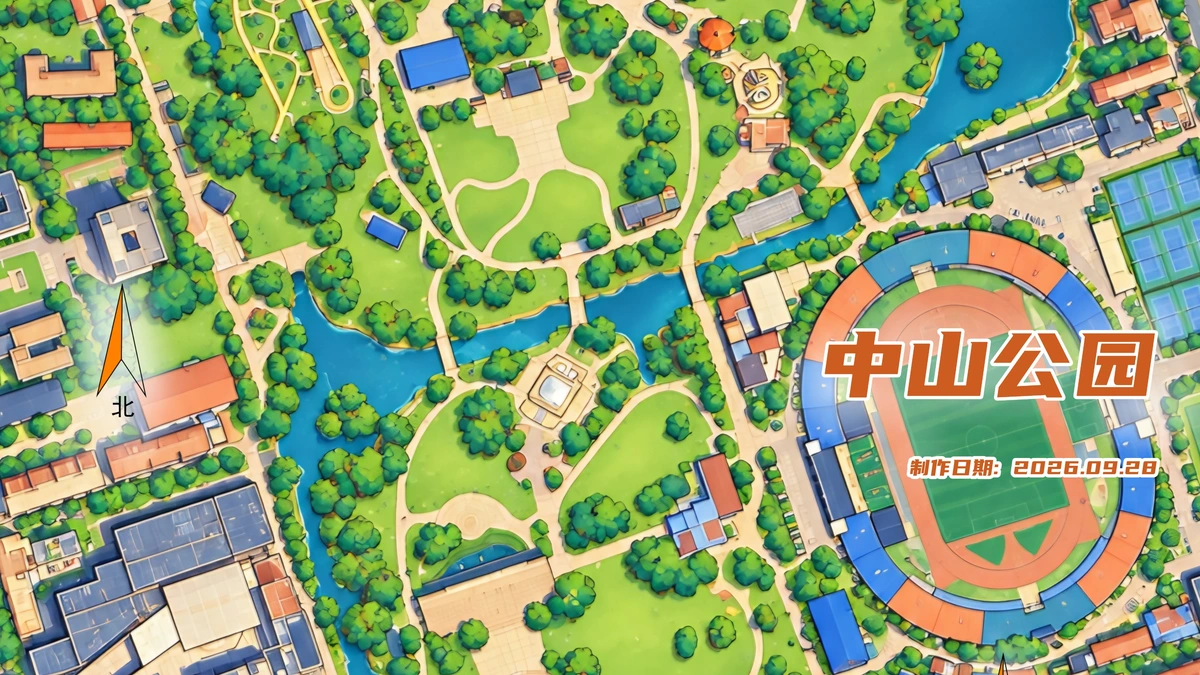
武汉市 · 待现场核验
A public orienteering map in 武汉市.
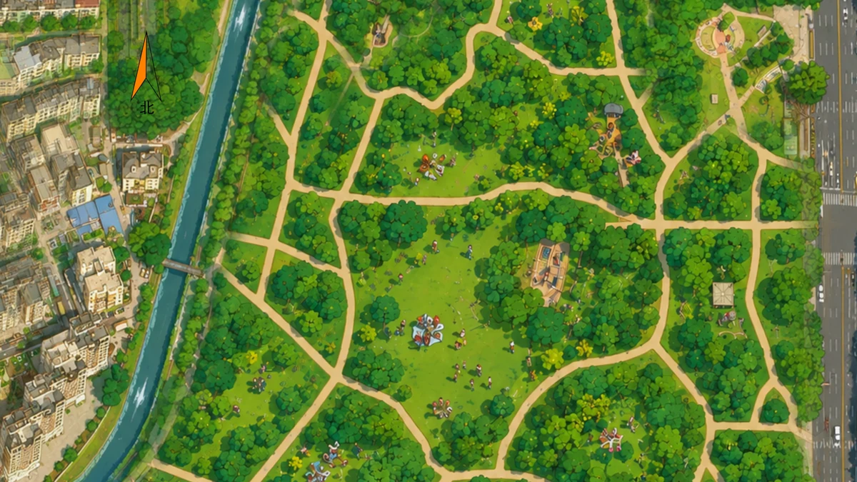
深圳市 · 轻度
A public orienteering map in 深圳市.
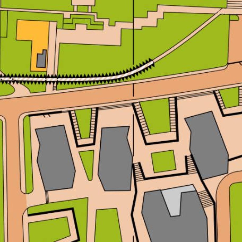
上海市 · 入门
A public orienteering map in 上海市.

北京市 · 适中
A public orienteering map in 北京市.
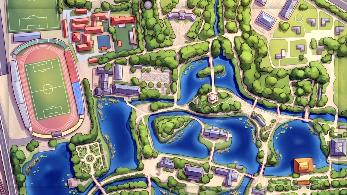
天津市 · 轻松
A public orienteering map in 天津市.

南京市 · 待现场核验
A public orienteering map in 南京市.
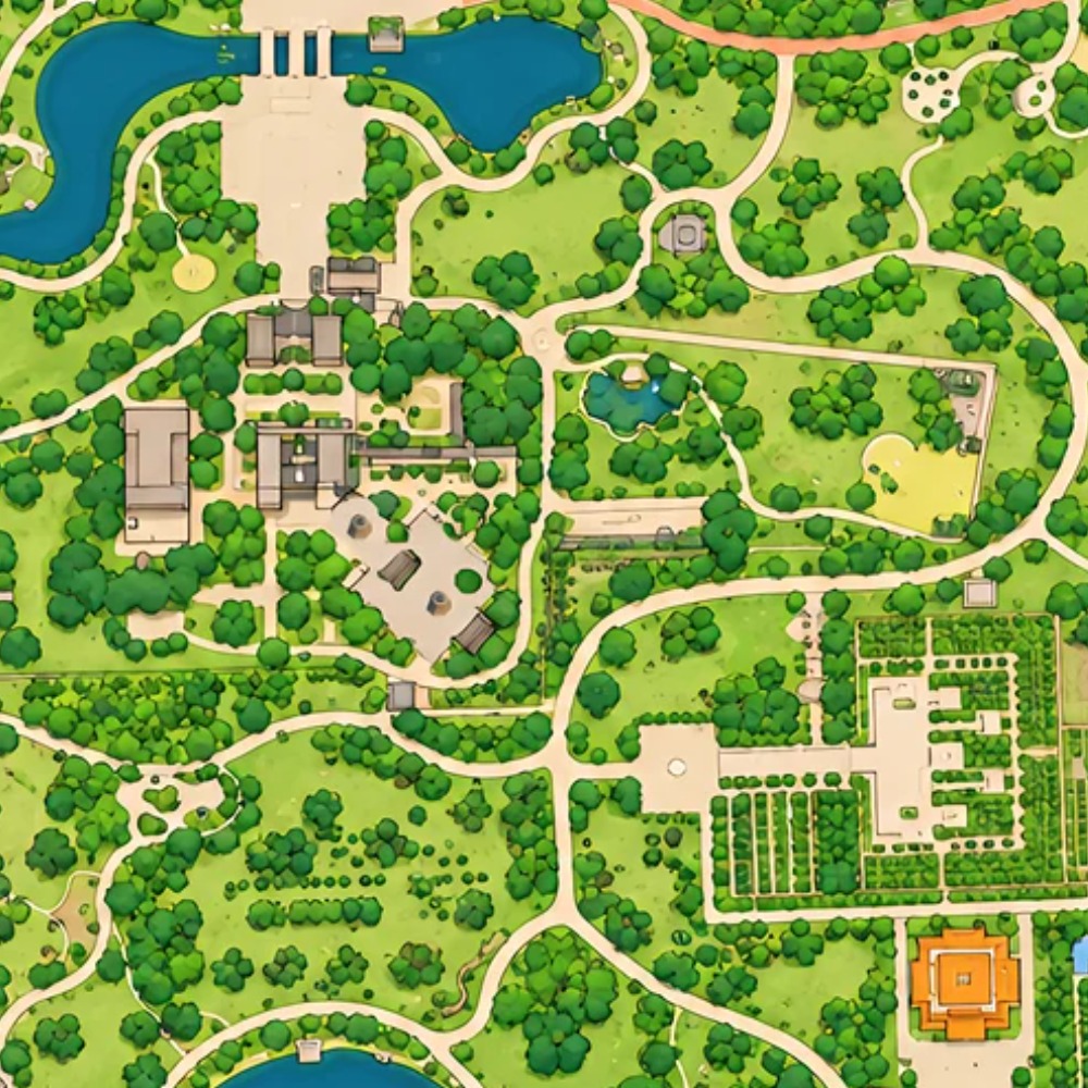
太原市 · 轻松
A public orienteering map in 太原市.

上海市 · 标准
A public orienteering map in 上海市.
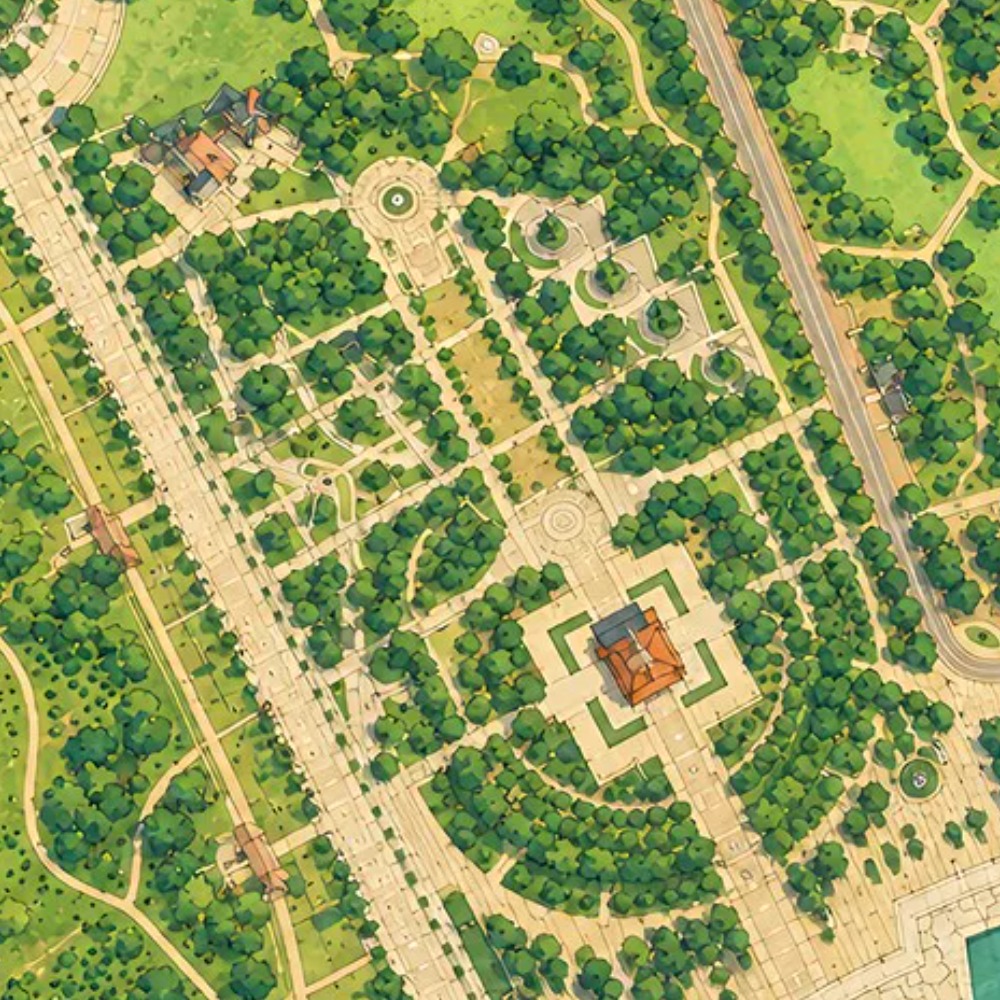
济宁市 · 轻松
A public orienteering map in 济宁市.
Browse the 196 public maps currently listed here by city, then open a city or individual map page for venue and experience details. The directory includes campuses, parks, destinations, communities and urban spaces.
A regular map mainly supports addresses and road navigation. An orienteering map also describes terrain, vegetation, buildings, water, contours, passability and out-of-bounds areas so participants can locate themselves and choose a route.
Yes. The process normally starts by reviewing the site boundary, available base material, participants and intended activities, then defining map detail, checkpoints and ongoing operation. ColorMap Run can help from the venue assessment onward.
Need a map for your place?